Construction Drones: 5 Ways They Are Changing the Industries
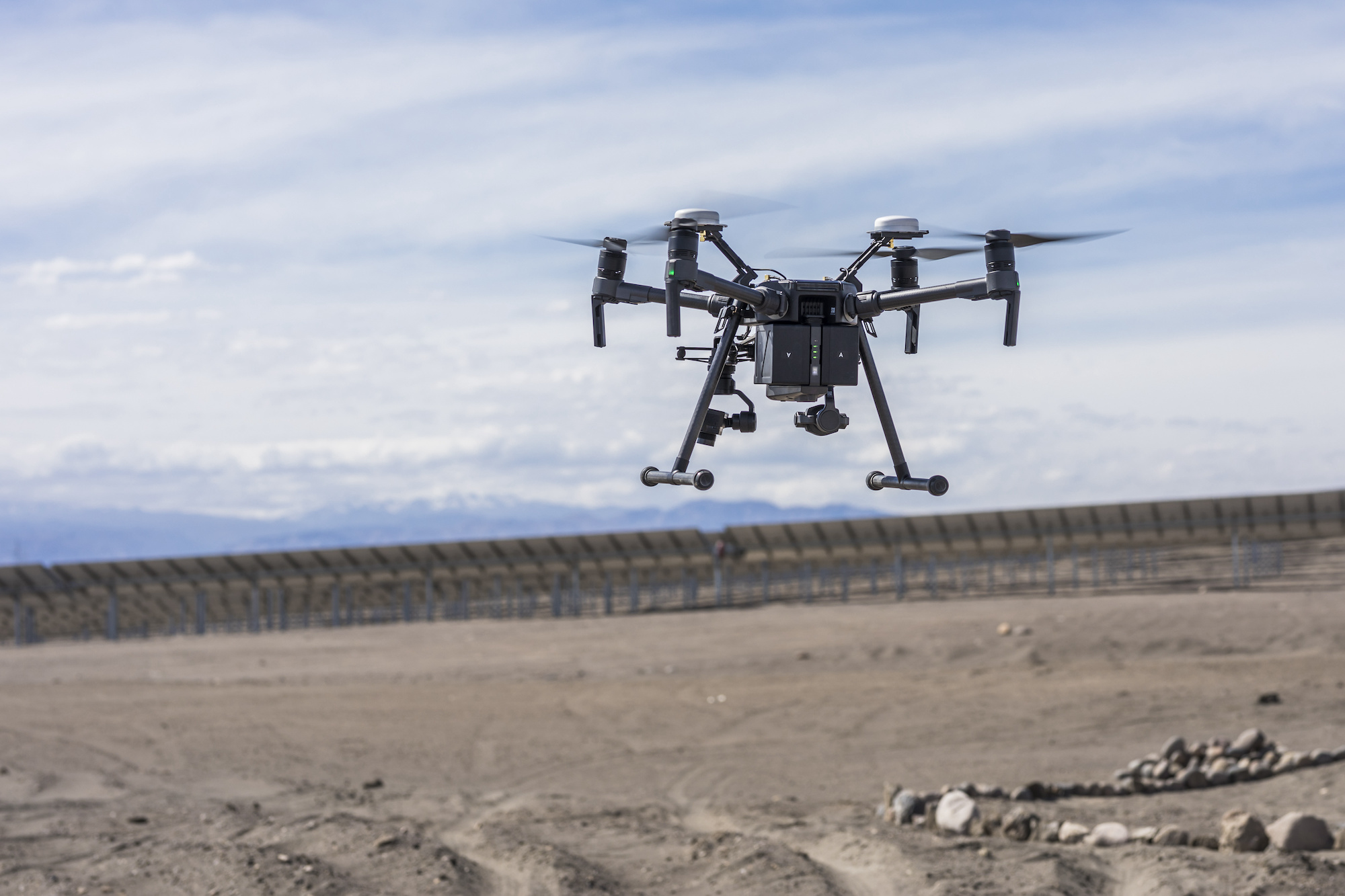
Drones' extensive functionality and accessibilities are for innovation and influence in any architectural sector. From pre-construction to design, on-site, and post-construction phases, these Unmanned Aerial Vehicles (UAVs) are in the construction industry to increase safety, and productivity while also cutting costs. Drone photography can monitor multiple issues, track progress, and develop better plans on-site because it serves as the eyes of contractors.
According to a notable Goldman Sachs estimate, drones have already successfully transitioned into the consumer market, and that's because they help in climatological data analysis, fire-fighting surveilling, and construction. Which is the largest industry in this burgeoning market, worth more than $11 billion (€9.3 billion) to date.
(Source: https://www.webuildvalue.com/en/reportage/drones-infastructure-usa.html)
Let's take a look at some of the unique ways these planes work:
·
Photography
Using Drones
An aerial solution is a cost-effective tool that enables contractors and land developers to manage all stages of a project's life cycle. It helps in Planning mega land-use projects, for example, film production, environmental research, Archaeology, power line inspection, oil and gas surveying, commercial advertising, and even artistic endeavors.
·
Mapping
and surveying industries
These statistics are to select correct decisions about infrastructure maintenance, making plans, and property boundary delineation. When conducting a drone survey, you follow the same fundamentals but use a drone to collect data. Drone mapping and modeling include cadastral maps, topographical assessments, accurate measurements, and monitoring of urban planning.
·
Laser
scanning in 3D:
Whether it's a dome-shaped tower, an unusually tall building, or a multistory campus, inspection of areas where you can't see becomes impossible. You can get a complete picture of your project using large-scale photogrammetry from 3D laser scanning. 3D laser scanning has been a tremendous help for years in creating 3D building models, measuring and evaluating advancement, verifying effective design execution, and routing existing site conditions in renovation projects.
·
Inspections
with the Elios 2
The Elios 2 indoor investigation drone is the most user-friendly, dependable, and concise. Maintain your workforce's safety while performing flawless inspections from the first flight. The use of such drones eliminates the need to endanger human life. The Elios 2 confined space is one of the most popular inspection drones. It reduces risk without sacrificing quality and enables faster detection of malfunctions and irregularities. Perfect for serving better safety, speed, and efficiency.
·
Drones
for bridge inspection:
traditional bridge inspections are not only difficult but also dangerous, expensive, and time-consuming. While Drone inspections nowadays can provide high-quality, detailed images which experts use. With the ongoing technological advancement, UAVs are an efficient alternative. Bridge inspection by drones Reduces costs by eliminating the use of under-bridge inspection trucks (UBITs), climbing, and other potentially dangerous access methods. Helps in Lowering costs by putting limits on the inspection and minimizing the need for expensive access methods (such as UBIT).
These pieces of information are to make critical decisions about infrastructure maintenance, construction site planning, and property boundary delineation. When conducting a drone survey, you follow the basic principles but use a drone to collect the data. In fact, drone surveying and mapping are only the tips of the iceberg in terms of the services that a drone can provide in building projects.


Comments
Post a Comment